
Industry

Transportation, Distribution & Logistics

Time-based aerial observation for consultants and operators who need a clearer record of movement through intersections, corridors, yards and active facilities.

01Traffic data collection
02Site-flow observation
03Repeat study windows
01

Aerial observation built around movement.

Ascend provides repeatable, time-stamped aerial data that helps consultants and operators understand how vehicles, equipment, people and materials move through intersections, corridors, parking areas, yards and active facilities.

  • Intersection and corridor capture
  • Parking and access observation
  • Warehouse, yard and loading-area capture
  • Truck staging and circulation
  • Before-and-after or time-of-day comparisons
02

Operational analysis and reporting.

Projects can also include verified counts, queue lengths, dwell times, turning movements, circulation diagrams and comparative summaries. These enhanced deliverables turn the captured record into a clearer view of traffic patterns, site flow and operational conditions.

Selected work

See it in practice.

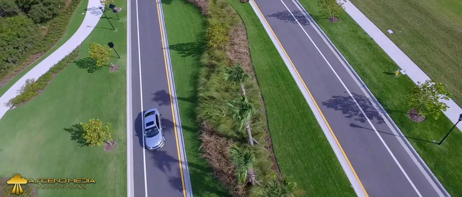
Road corridor overview

A view from above puts separated carriageways and the surrounding corridor in context. The image illustrates what aerial coverage can show, not a traffic count or analysis.

Aerial view of parallel carriageways divided by a landscaped median.
Roadway context

What are you planning?

Plan an observation window