Industry

Infrastructure

Clearly scoped aerial data collection and documentation for physical assets, corridors, facilities and specialist project teams.

01Documented workflows
02Recurring capture
03Specialist-team support
40%Average inspection cost savings

Where did bridge inspectors save money?

Minnesota DOT reported average savings of 40% on the bridge inspections it studied when drones reduced the need for traffic control and access equipment. Site conditions mattered. On one bridge, drone assistance cost $780 more than conventional inspection.

Federal Highway Administration’s Minnesota bridge comparison (PDF)
01

Operational discipline first.

Infrastructure work benefits from explicit roles, capture specifications, QA, organized data and dependable delivery.

  • Infrastructure and asset documentation
  • Mapping and geospatial capture
  • Traffic-study data collection
  • Thermal and RGB observation
  • Recurring multi-site programs
02

Built to complement project partners.

Ascend can work as a focused aerial data-collection partner while engineers, inspectors, asset owners and operators retain interpretation and certification responsibilities.

Selected work

See it in practice.

Bridge and approach context

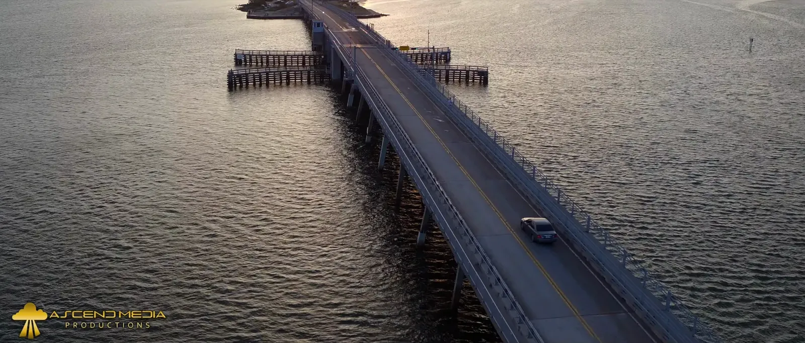
An oblique aerial view shows how a bridge relates to the waterway and approaches. This example demonstrates visual context, not a condition assessment.

A bridge spans a wide waterway with vehicles visible on its deck.
Bridge corridor

What are you planning?

Define a collection scope